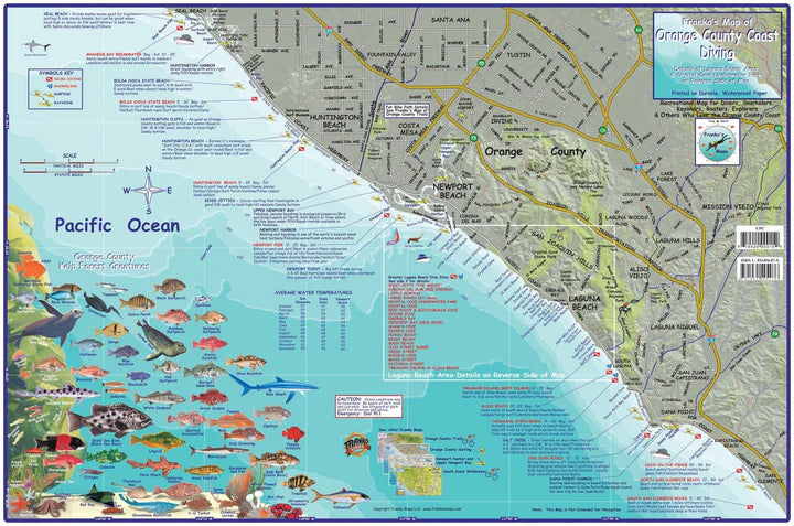
Franko's California Soft Laminated Fold-up Dive & Adventure Map
Guaranteed Safe Checkout
These are awesome laminated diving maps for the best diving spots in California!
Features include:
- Printed on Waterproof, rip-proof plastic
- Fold-up map
- Full color on both sides
Find out where the best diving locations are with these awesome laminated diving maps!
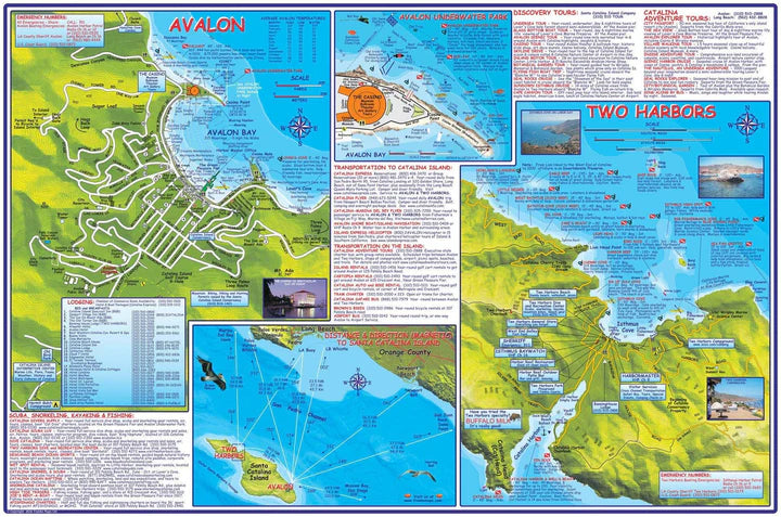
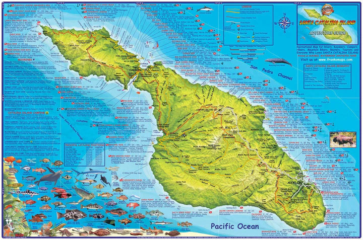
Santa Catalina Island Dive & Adventure Map
A comprehensive guide to this amazing island off the Orange County coast. 14"x 21", folded to a handy 4" x 7", printed on waterproof rip-resistant synthetic material.
This is a shaded relief topographic map. It shows dirt roads, dive sites, snorkel sites, moorings, campground, anchorages and more.
Side one covers the entire island with focus on locations, names and descriptions of diving and snorkeling sites. There are colorful illustrations of fish and other reef creatures found in the Catalina waters.
Side two has larger scale contour maps of Avalon and Two Harbors with additional details, a map of Avalon Underwater Park, and information on transportation to and on Catalina, SCUBA, snorkel and tour suppliers.
This handy guide will help you make the most of a day, weekend or vacation on Catalina!
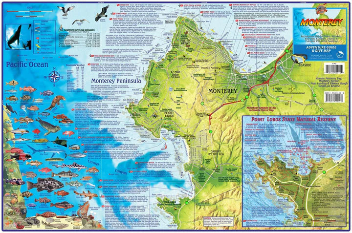
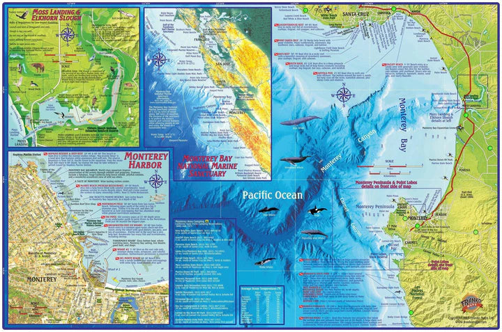
Monterey Adventure Guide & Dive Map
Recreational Map for Divers, Kayakers, Bicyclists and Explorers. Covers Greater Monterey Bay, Monterey Harbor, Moss Landing, Elkhorn Slough
Side one covers the Monterey Peninsula and environs, including Sand City, Pacific Grove, Pebble Beach, Carmel and Point Lobos. Dive and snorkel sites are located, named and described. The map has surfing and kayaking spots, roads and bike routes and points of interest. There is a detailed map of Point Lobos State Natural Reserve. Also, colorful illustrations of fish and other kelp forest creatures.
Side two has blow-ups of Moss Landing & Elkhorn Slough, Monterey Harbor, Monterey Bay National Marine Sanctuary, plus an overview of the coast from Santa Cruz south to Los Padres National Forest.
14" x 21" folded to a handy 4" x 7", printed on waterproof rip-resistant synthetic material.
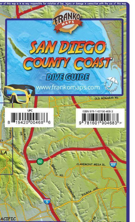
San Diego County Coast Dive Map
A recreational map for scuba divers, snorkelers, beach lovers, kayakers, boaters, and explorers. Details the dive sites and beach tourist information from Oceanside to Los Coronados, including insets for Mission Bay, La Jolla and Wreck Alley. San Clemente Island and Islas de los Coronados. Beautiful, illustrations of San Diego kelp forest sea life.
14" x 21", folded to 4" x 7". Printed on waterproof, tear-resistant material
Includes several of the wrecks in famous Wreck Alley, such as the port-side-down Yukon, the strawberry anemone-covered Ruby E., the decaying El Rey, the toppled NOSC Tower, and the chunks of remains of the Ingraham St. Bridge. Side 2 shows the Greater San Diego Coast, which includes everything from Camp Pendleton to Coronado Islands, south of the border.
Warning - California Prop 65: Some products on this site can expose you to chemicals including Chloroprene, which is known to the state of California to cause cancer and birth defects or reproductive harm. For more information, go to www.P65Warnings.ca.gov.
All orders over $50 ship for free. (* some exclusions apply)
150% Price Protection Policy.
Satisfaction Guarantee on all of our merchandise.
Authorized PADI dive center with expert staff.


