Franko's California & Hawaii Surfing Maps, ALL LOCATIONS 14x21 in
Guaranteed Safe Checkout
These are awesome laminated surfing maps for the best surf spots in the United States!
Features include:
- Printed on Waterproof, rip-proof plastic
- Full color on both sides
- Measures about 14 x 21 inches
Find out where the best and biggest waves are with these awesome surfing maps!
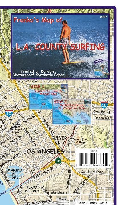
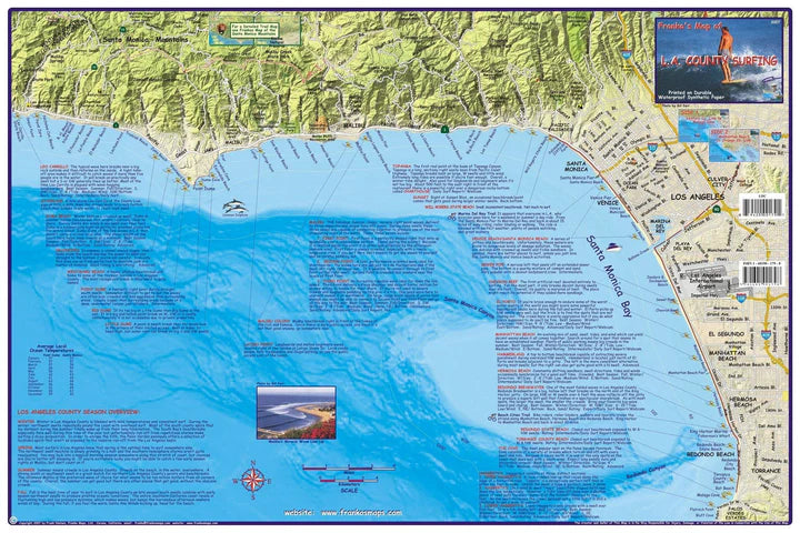
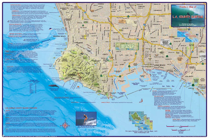
Los Angeles County Surfing Map
There are folks who wish Franko hadn't published this map. They wanted to keep the best surfing spots in Los Angeles County to themselves!
Side one covers the area from Leo Carillo State Beach below the Santa Monica mountains south to Redondo Beach. Not only does the map shows the surfing spots, but there are detailed write-ups for each one. Side two covers Manhattan Beach all the way to Huntington Harbor and Sunset Beach.
14" x 21" folded to a handy 4" x 7", printed on waterproof rip-resistant synthetic material.
Oahu fold up
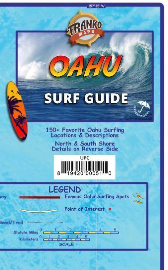
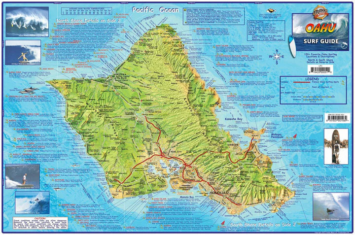
A comprehensive guide to one of the world's best surfing destinations! 14" x 21" folded to a handy 4" x 7", printed on waterproof rip-resistant synthetic material.
Side one is a dramatic color relief map of the entire island of Oahu with surfing spots located with names and text.
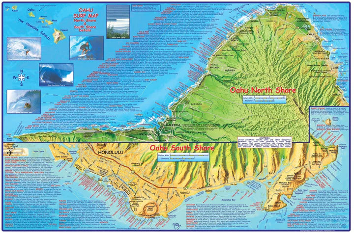
Side two has equally stunning detail maps of Oahu's North Shore and South Shore with surfing spots located with names and text.
This is a map and guidebook all-in-one. All told, 150 surfing locations are shown with names and descriptions. Grab your board and go!
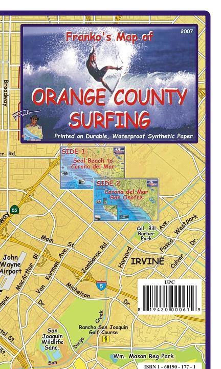
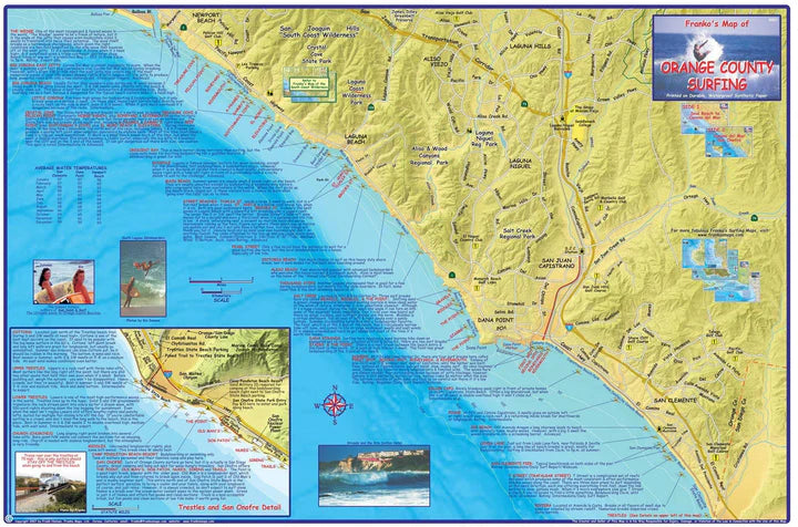
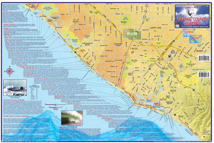
Orange County Surfing Map
Side one covers the area from Seal Beach and Anaheim Bay south to Crystal Cove State Park. Not only does the map shows the surfing spots, but there are detailed write-ups for each one.
Side two covers Newport Beach all the way to San Clemente State Beach, plus a blow-up of Trestles State Beach and San Onofre State Park.
14" x 21" folded to a handy 4" x 7", printed on waterproof rip-resistant synthetic material.
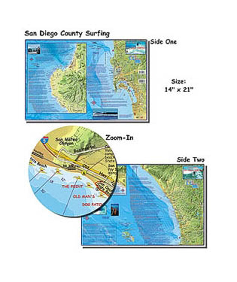
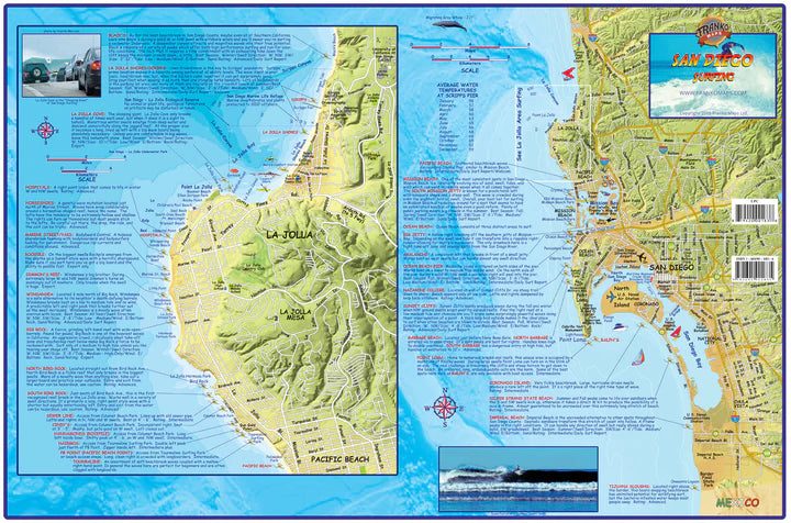
San Diego County Surfing Map
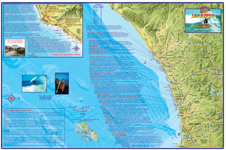
This map shows all the great surfing spots! One side shows Northern San Diego County, and on the other side is south San Diego County with La Jolla details. 14" x 21", folded to 4" x 7". Printed on waterproof, tear-resistant material.
Side 1 shows San Diego Surfing South, since it begins at about Del Mar and goes down to the Mexican Border, plus a big inset with close-up details of everything from Black's Beach to Pacific Beach. La Jolla Shores, Hospitals, Horseshoes, Windandsea, Big Rock, Bird Rock, PB Point, PB, Mission Beach, Ocean Beach, Sunset Cliffs, Point Loma, Coronado Island, Silver Strand, Imperial Beach, and Tijuana Sloughs are included, with many, many more. The major roads and freeways of San Diego County are shown to guide the surfer to these spots as well. Each description explains the best surfing condition, the nature of the break, best time of year, best swell direction, tide height, wind direction, and other details of importance to the surfer.
Side 2 shows San Diego North County Surfing, with descriptions of the surf breaks from Trestles and San Onofre all the way down to Torrey Pines. San Diego County owns some of the best surf breaks on earth, and Trestles may be number one. Swami's is also very notable, as is Oceanside, Grandview, Cardiff, Del Mar and many more. Trestles is shown in detail, along with Cottons, Churches and San Onofre in a little inset map. A San Diego Season Overview describing the nature of San Diego surfing through the four seasons is included.
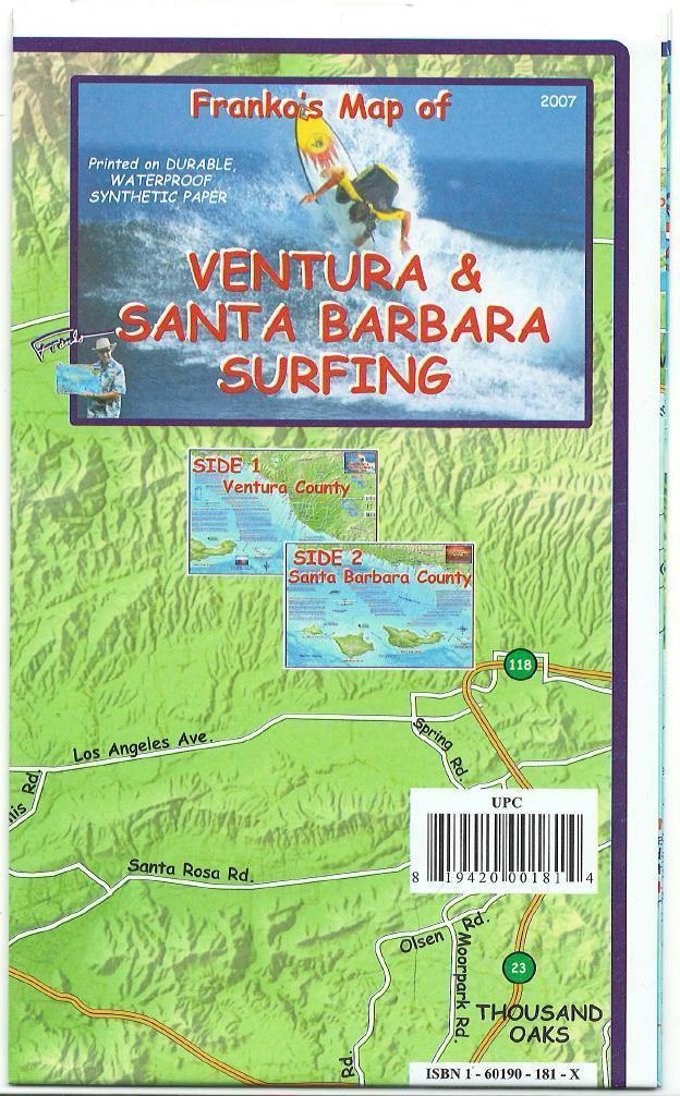
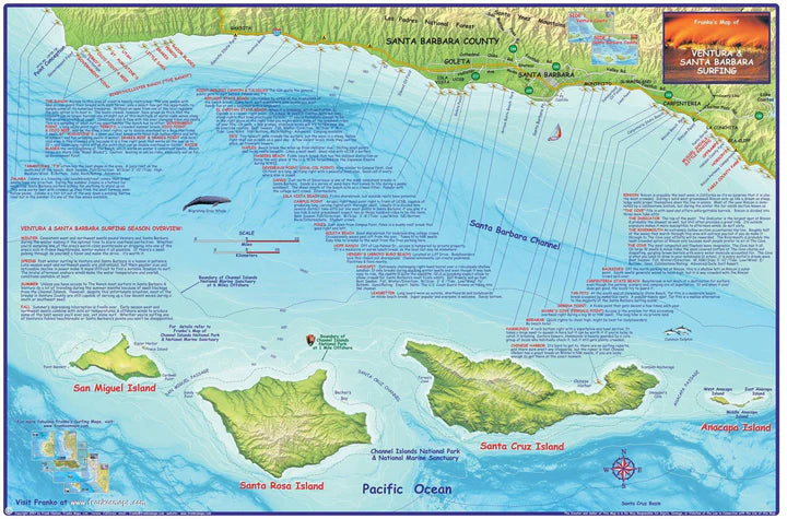
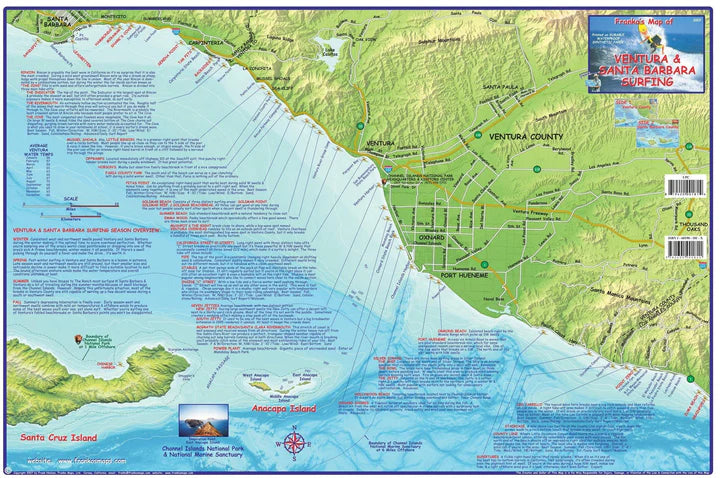
Ventura & Santa Barbara Surfing Map
Not only does this map show locations for the best surfing, but each spot has a detailed description.
Side one covers the area from Point Conception to Carpinteria.
Side two covers Santa Barbara to the L.A. County line.
14" x 21" folded to a handy 4" x 7", printed on waterproof rip-resistant synthetic material.
Warning - California Prop 65: Some products on this site can expose you to chemicals including Chloroprene, which is known to the state of California to cause cancer and birth defects or reproductive harm. For more information, go to www.P65Warnings.ca.gov.
All orders over $50 ship for free. (* some exclusions apply)
150% Price Protection Policy.
Satisfaction Guarantee on all of our merchandise.
Authorized PADI dive center with expert staff.


